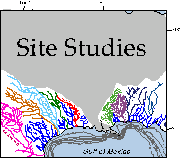
Our research project focuses on a long-term study of the northern Gulf of
Mexico continental shelf and upper slope and concentrates on examining the
response of different depositional systems (fluvial, deltaic, coastal, etc.)
to rising and falling sea level during the last few glacial eustatic cycles.
The study area extends from the west Florida shelf to the Rio Grande and
is subdivided into seven different shelf and upper slope settings with very
different fluvial input, shelf gradient, and climatic and oceanographic
settings. The data base consists of over 20,000 kilometers of high resolution
seismic data and several hundred oil company platform boring descriptions
and cores.
For more detailed information, please select a site that interests you.
Nearshore Sites
Corpus Christi/Mustang Island
Matagorda
Galveston
Sabine
Calcasieu
Offshore Sites
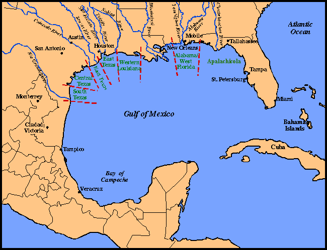
South Texas
Central Texas
East Texas - Colorado and Brazos Rivers
East Texas - Sabine, Trinity and San Jacinto Rivers
Weastern Louisiana
Alabama and Western Florida
Apalachicola
Comments, questions? Contact us at
gulf@gulf.rice.edu.